Categories
Winnipeg

On Winnipeg Urban Planning

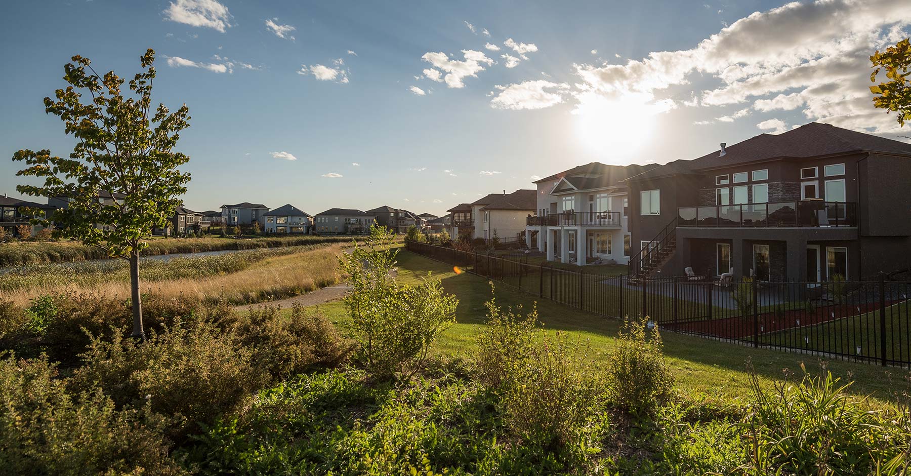
Late last week I wrote the following tweet that generated quite a bit of conversation:

Unfortunately, the original intent of my tweet was partially lost in the conversation. So I thought I’d clarify here on my blog.

The two main knee-jerk reactions that I had upon visiting Sage Creek were essentially:

1. It is (a) so far away from the city centre (b) that it should not be part of Winnipeg.
2. “Why are we still building suburbs like this?!”

For those of you from out of town, Sage Creek is one of the most recent suburban developments in Winnipeg. It doesn’t seem to have a Wikipedia entry so here is a link to the developer’s sales page.

It’s Really Far Away

My route to Sage Creek took me down to the very far edge of Fermor Ave and then south down Lagimodiere Blvd past Bishop Grandin Blvd. Most of this drive was completely desolate, I passed a “power centre” style retail development, The Royal Canadian Mint and a bunch of empty nothingness. Most Winnipeggers would consider this drive to have already taken them “out of town” but low and behold, you take a left turn on Sage Creek Blvd and there you are heading into a self contained “Qualico Community.”

My initial reaction was just a kneejerk to my boring drive, so let’s take a quick look at the numbers.

I’ll use the intersection of Sage Creek Blvd & Edward Turner Dr as the “centre” of Sage Creek – since this appears to be the midpoint of housing development and compare this to Portage & Main – the defacto (and literal?) centre of Winnipeg.

The straight-line distance is 10.27km. For comparison, the west Perimeter Hwy bordering the city is only 13.15km from Portage & Main. The northern perimeter is only 10.47km. East is 12.82km.

Sage Creek is demonstrably on the edge of the city.

A screenshot of a google map of Winnipeg showing a ruler measuring the distance between Portage & Main and Sage Creek
Straight Line Distance to Sage Creek

For comparison, by car it’s 12.8km.

A screenshot of a Google Map showing driving directions from Sage Creek to Portage & Main, in Winnipeg, Manitoba
The Drive From Sage Creek

At 13.1km, the ideal bike ride is slightly longer than by car. I suspect this is a fairly pleasant bike ride as it runs through some nice parks and quiet streets. But TBH keeping track of all those turns would be challenging and I would be surprised if Winnipeg has the way-finding to simplify this route.

FWIW if these suburbs are going to exist, I would love to see prioritizing bike freeways over car infrastructure and SE Winnipeg would be a good place to start (but that’s a topic for another post).

A screenshot of a Google Map showing cycling directions from Sage Creek to Portage & Main, in Winnipeg, Manitoba
Cycling Distance From Sage Creek

“But it’s quick!”

A few people in my Twitter replies mentioned that the distance doesn’t matter because the drive is quick.

This is entirely missing the point.

First, it means that you absolutely need a car to leave your neighbourhood.

Second, you’re still driving further, burning more gas, wasting money and needlessly polluting.

Third, supporting infrastructure on the fringes of the city is completely unsustainable.

It shouldn’t be part of Winnipeg

If you’ve ever played Sim City 2000, you should have a pretty good sense of just way this suburb is unsustainable. In the game, every segment of water/waste pipe, power line and road costs $10 (plus upkeep). If you build a mini-town on the edge of your simulated city you end up running out of money very quickly! Often before you even have a chance to build schools or provide fire and police services.

Now, the infrastructure for Sage Creek almost certainly isn’t being piped directly from Portage & Main, it’s not technically as isolated as my Sim City losing strategy. The pipes and power are likely connected to Island Lakes (the suburb directly to the west of Sage Creek).

But get a load of this satellite picture:

A Satellite Image of Island Lakes and Sage Creek

It doesn’t look like Qualico have really taking advantage of their proximity to Island Lakes. They haven’t built a bunch of connecting paths, parks or streets. They haven’t packed the dense developments right next to the existing infrastructure for maximum efficiency. It’s mainly unused land, parking lots and parks.

It’s fine for you

Many people on Twitter assumed that I was “slagging” Sage Creek.

This was not my intent. I understand that people like living in developments like Sage Creek. My general attitude is “that’s fine for you.”

The problem is – as illustrated in Sim City 2000 – every new low density development decreases the city’s ability to provide services efficiently.

Take a look at the bus routes as an example.

A screenshot of a Google Map showing bus directions from Sage Creek to Portage & Main, in Winnipeg, Manitoba
Bus directions from Sage Creek

A minimum of 67 minutes! If public transit was operating efficiently, this travel time should be in the same ballpark is the travel by car. Not 3.5x!

But with Winnipeg’s dozens of suburbs on the sprawled out on the periphery this becomes an impossible problem to try to solve efficiently.

Don’t ask me to subsidize it

Let’s take a quick look at some generalized math.

Since all parts of the city expect similar levels of city services and all parts of the city pay similar property taxes, the basic math of it is that higher density areas subsidize lower density areas.

If each suburb was its own town, they would each have their own tax rates that make sense for their specific concerns.

They could still benefit from city services if they chose to but the big difference would be that The City could make a profit from those agreements.

Rather than each suburb stretching the city’s budgets or making things like efficient transit service totally impossible. Suburbs could be a profit centre!

It’ll be the centre of town soon enough

A few replies on Twitter suggested that building suburbs on the edge of town is how we’ve always done it and after a few decades the city will fill in around it.

But this is just totally backwards! Cities should be built from the inside out. Again, if this is not obvious play some Sim City 2000.

Why Are We Still Approving Car-Centric Suburbs?

A screenshot of a Google search ad for Sage creek. The title reads "South Winnipeg's Sage Creek - Live in Sage Creek". The body reads "A completely walkable new community with a variety of homes for all lifestyles. Learn more. Contemporary design, lasting materials & the highest construction standards. Come visit! Over 9Km of Trails. Home Styles for All. Vibrant &..."
Qaulico’s Ad For Sage Creek

I’m quite uncertain how Qualico came to the conclusion that their new community is “completely walkable.” It’s got to be a joke, right?

Wikipedia defines walkability as:

…a term for planning concepts best understood by the mixed-use of amenities in high-density neighborhoods where people can access said amenities by foot. It is based on the idea that urban spaces should be more than just transport corridors designed for maximum vehicle throughput. Instead, it should be relatively complete livable spaces that serve a variety of uses, users, and transportation modes and reduce the need for cars for travel.

Walkability – Wikipedia

Sage Creek simply does not have any mixed-use, period. The retail is a good distances away from the apartments and both are segregated from the expensive single-family homes by wide parkland.

A more generous (and perhaps more realistic in the North American context) definition of “walkability” might be the idea of a “15-minute city.” i.e. the idea that nothing should be more than 15 minutes away (without a car).

But here again Sage Creek fails. Since they’ve positioned the retail sector at the entrance of the development almost none of the single-family housing is within a 15 minute walk (I’ve used the Tim Hortons in this calculation).

A screenshot of walkscore.com highlighting the area within Sage Creek that can reach the Tim Hortons within a 15 minute walk.
From Walkscore.com

The Biggest Sin of Them All!

If that wasn’t bad enough, Qualico has the audacity to call this neighbourhood “walkable” without even providing sidewalks to walk on!!

As you can see from the City of Winnipeg’s sidewalk clearing map, they have only built sidewalks on the main thoroughfares. This is absolutely not a way to encourage walking!

A screenshot of the City of Winnipeg's sidewalk snow clearing priority map for Sage Creek.
Side snow clearing priority

I do not understand why city hall continues to approve this garbage.

In all seriousness, by “walkable” I think Qualico actually means “there are parks where you can walk your dog only a 2 minute drive away!” Qualico certainly is not committed to walkability in any common sense of the word.

But we’ve always done it this way

A few commentors on Twitter mentioned that Sage Creek is just like many other suburbs in Winnipeg and that I shouldn’t be singling them out.

I actually agree. All of the post WWII suburbs are pretty terrible.

In Conclusion

City hall needs to do better!

We can bite bullet and stop approving new developments. They’re a ponzi scheme that has to end, the sooner we rip of the band-aid the better.

We can retrofit existing neighbourhoods with sidewalks and infill housing. We’re already doing a decent job on the latter. I would like to see a candidate in this upcoming election suggest building sidewalks. Hell, we could just steal Edmonton’s 15-minute city playbook, it seems like a good one.

Oh and we should probably at least consider breaking up Unicity before it’s too late.